Kazakhstan’s Altai is where big country turns into big mountains, and these Altai Kazakhstan hikes deliver the kind of quiet you can’t filter. This guide skips the usual photo ops in favor of trails you’ll actually want to walk. Expect cedar forest, clear lakes, clay canyons, and the soft clink of cowbells from high summer pastures. A few paths sit inside the border zone, so planning ahead matters. Below are six routes with on-the-ground tips for getting there, when to go, and how to do it responsibly. Lace up; the Altai rewards those who take their time.
1. Wooden ramps to a roaring curtain
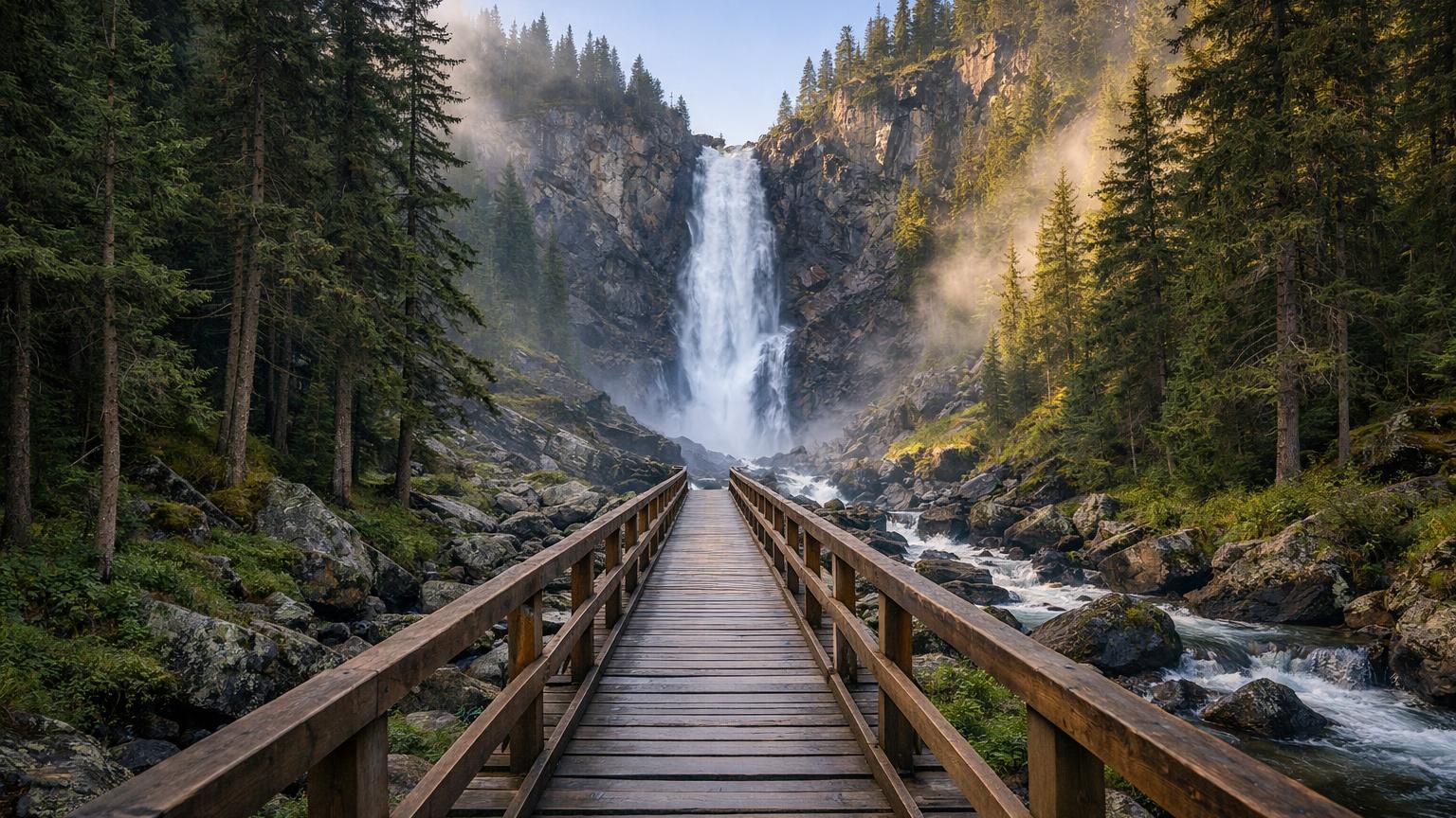
From the trailheads around Rakhman Springs, a classic forest path climbs toward Kokkol, a thundering waterfall tucked in larch and granite. The route uses wooden ramps and footways in steeper sections, and local rangers ask visitors to register on the Sarymsakty hiking route before setting off, as the walk is long and remote. Plan for about 22 km one way if you take the full signed route from the resort area to the falls, a solid day with photo stops and berry breaks [1][2]. Trails here run close to Kazakhstan’s frontier, and parts of Katon-Karagay sit inside a designated border strip. Depending on your exact route and nationality, you may need to apply in advance for permission from the Border Service; tour operators in the district handle this paperwork regularly [3][4]. It’s the kind of admin that keeps this valley blissfully quiet.
Good to know: Getting there: Drive or arrange a hire to Rakhman Springs in Katon-Karagay, then follow signed paths toward Kokkol. Season: Local park guidance points to June through August for clear, snow-free travel [1]. Permits: Parts of the area are in the border zone; confirm and apply in advance if required [3][4]. Cost: Budget for park entry and, if relevant, a guided hike. Insider tip: Start pre-dawn for soft light on the spray and a good chance of wildlife along the river flats.
2. The terrace of lakes above the hot springs
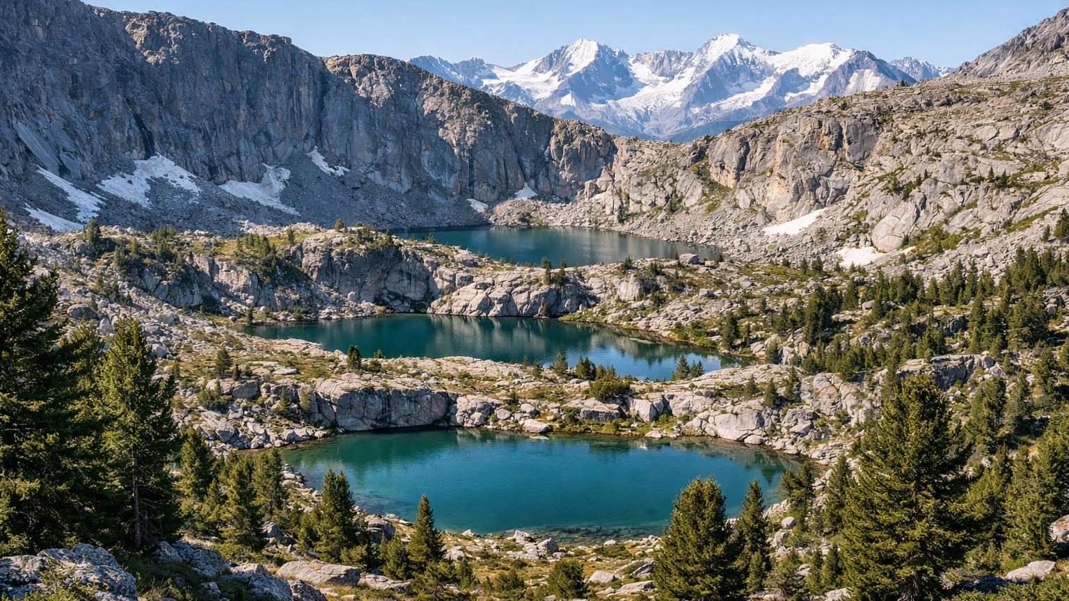
Above the hot pools of Rakhman Springs, a quieter network of paths climbs into a chain of clear mountain lakes. Locals know the circuit by the names of its waters—Karlygash, Maralenok, and others—and it’s a satisfying gradient: forest to meadows to mirror-flat tarns ringed by stone. Registering for the route is standard, and guides based at the resort can combine the lakes into a tidy loop [1][5]. On cloudless days, the ridge lines frame distant snows on the Belukha massif, while evenings settle with the scent of cedar and woodsmoke from the valley. Bring a thermos; this is a linger-and-watch-the-light sort of walk. If your map shows the border line nearby, that’s not a mistake—carry your documents and stick to signed trails [3].
Good to know: Getting there: Base yourself at Rakhman Springs and follow local signs for the lake circuit or book a guide at the resort. Season: Park info suggests prime hiking from early June to late August, when the snowfields finally let go [1]. Permits: Some itineraries approach the border zone; confirm requirements before travel [3]. Cost: Expect park entry and optional guide fees. Insider tip: Pack light camp shoes for easy rock hopping between lake outlets.
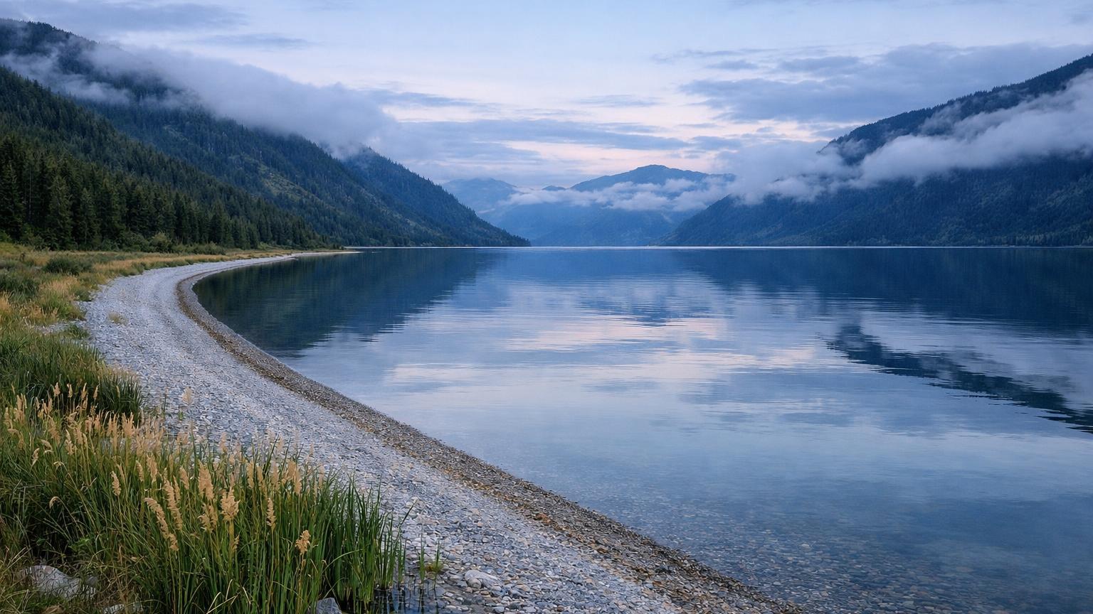
3. Along Markakol’s quiet shore
Lake Markakol is a high, cold sweep of water set in the Southern Altai. Most walkers base in Urunkhaika, the village on the lake’s eastern shore, then follow shore paths toward the inlets where creeks meet the lake. Urunkhaika sits on the historic Old Austrian Road that links the Katon-Karagay and Kurchum districts, and the lakeside stretch rewards with reed beds, waterfowl, and long reflections [6][8]. The lake and surrounding forests form a nature reserve first designated in 1976, so stick to existing paths and heed local guidance. Weather flips the lake’s color from bright blue to gunmetal in minutes, which is half the fun of walking here [7][10]. Parts of the area are within the national border zone; if your route hugs the southeastern shore or crosses checkpoints, ask about permit formalities in advance [3][4].
Good to know: Getting there: From Öskemen (Ust-Kamenogorsk), most travelers reach Urunkhaika via Kurchum and the Old Austrian Road; local guesthouses can point you to shore paths [6][8]. Season: Late June to September usually brings dry trails; earlier can be muddy and buggy. Permits: Border-zone rules may apply on certain segments; verify before you go [3][4]. Cost: Plan for transport, guesthouse stays, and reserve/park fees where applicable. Insider tip: Calm mornings mirror the taiga on the water—bring a polarizer for the lake’s shy blues.
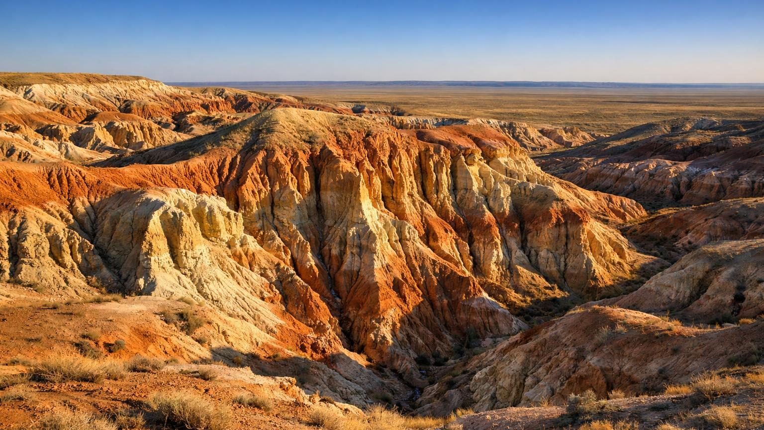
4. Fire clay gullies of Kiin‑Kerish
When you need a break from forests and lakes, the Kiin‑Kerish badlands deliver color by the bucket. A simple loop threads among red, orange, and white clay bluffs that look lit from within at sunset. Recent upgrades added road signs and small gazebos along the approach, and wayfinding is now friendlier without blunting the sense of remoteness. It’s around 315 km by road from Öskemen, so plan it as a day trip with a very early start or an overnighter near Kurchum [9][10]. This is dry country with no shade once you’re in the gullies. The nearest water source is in Amanat village about 7 km away, making an extra bottle the smartest weight you’ll carry all week. The tract sits outside the high mountains, but it pairs well with other Altai Kazakhstan hikes to show the region’s range in a single itinerary [10].
Good to know: Getting there: Drive from Öskemen via Kurchum; final access is on signed local roads to the Kiin‑Kerish parking area [9][10]. Season: Spring and autumn light are superb; in summer, go at dawn or late afternoon to dodge heat [10]. Permits: None specific, but local authorities request visitors keep to marked paths. Cost: Fuel and time; no services on site. Insider tip: After rain, the clay pops with extra color—wear shoes you’re happy to rinse.
5. Alyoshkiny Stezhki: two days in a glacial bowl
If you like your forest with a side of science, the West Altai State Nature Reserve runs guided eco‑routes from its Ridder office. The standout is Alyoshkiny Stezhki, a two‑day trip that combines a vehicle approach with a 20 km footpath into a cirque holding three high lakes and a riot of moss, lichen, and granite. Group sizes and pacing are set by the reserve, which keeps the trails from turning into sidewalks [11]. Entry is controlled. You obtain a route sheet at the reserve office, and all hikes run with a staff guide. Other official routes cross the “Ridder – Russian border” road that traverses 22 km of the reserve and include day hikes like Zapovednye Dali and Kamennaya Skazka [12][13]. It’s a structured system that still leaves plenty of room for quiet moments with a thermos under the firs.
Good to know: Getting there: Report to the reserve office in Ridder to arrange the Alyoshkiny Stezhki route and guide; transport plus hiking over two days totals about 98 km, with 20 km on foot [11]. Season: Late June to early September for snow‑free cols. Permits: The reserve issues route sheets and provides the guide; follow staff instructions [12]. Cost: Expect official entrance and guiding fees. Insider tip: Bring rubber boots—the trail crosses a marshy bench locals call the “gulybishche” on wet summers [12].
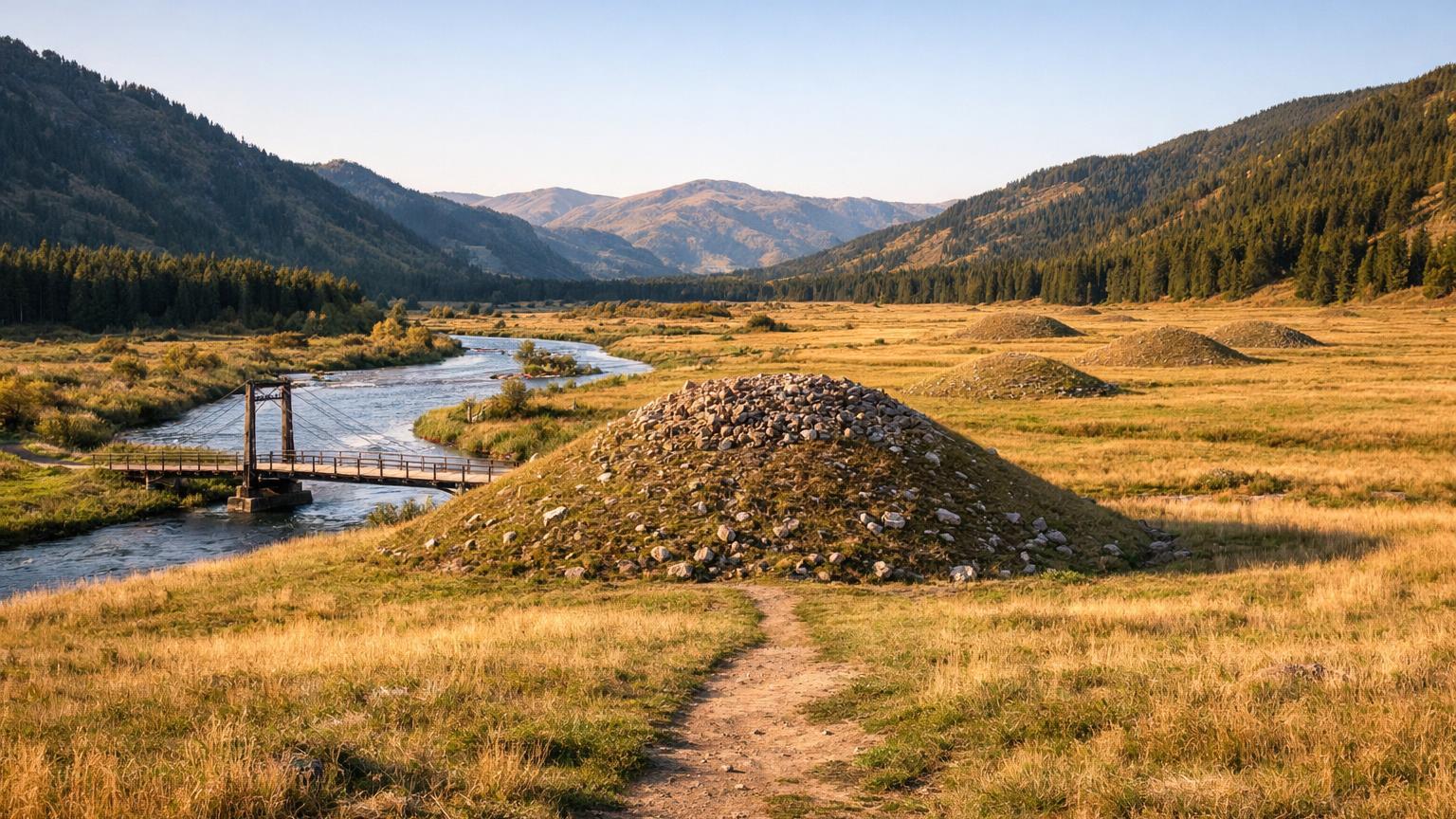
6. From Uryl to the Valley of Kings
This low‑effort, high‑story walk begins in Uryl, crosses a suspension bridge over the Bukhtarma, and follows a gentle valley track past village fields to the Berel kurgans. The path ends where archaeology lives in the open air: Scythian‑Saka burial mounds that have yielded carved gold, felt, and the remains of ancient horses preserved in permafrost. Local tours include time for photos and a talk at the site [14][15]. A small museum and managed site make this a good rest‑day pairing with the bigger mountain routes. It is cultural, not strenuous, but the Altai ridges still frame the valley in every direction. Ask ahead about schedules and rules for site visits—this is living research as much as it is heritage [16].
Good to know: Getting there: Start in Uryl village and follow the marked route to the mounds; local operators in Katon‑Karagay run short guided trips [14]. Season: Snow‑free months are best; combine with nearby valley hikes. Permits: None for the village route, but carry ID if you’re continuing deeper into the border zone [4]. Cost: Museum entry and local guide services where used. Insider tip: Bring a wind layer; the valley can funnel katabatic gusts in the afternoon.
Final thoughts
These six trails mix quiet valleys, clay canyons and lake light into a compact plan for Altai Kazakhstan hikes. Pack flexibility, respect the border‑zone rules, and give yourself time between routes. The Altai rewards patience with room to breathe.
Sources
- Tourism ↩
- Kokkol Waterfall ↩
- Electronic licensing: Issuance of a permit to enter and stay in the border strip ↩
- Attention! Border Area! – Visit East Qazaqstan ↩
- Рахмановские ключи (источник) ↩
- Urunkhayka – Visit East Qazaqstan ↩
- Lake Markakol ↩
- Old Austrian Road ↩
- Kiin‑Kerish Tract ↩
- Navigating to the Kiin‑Kerish Gorge in East Kazakhstan Just Got Easier ↩
- Маршруты ЗАГПЗ – Западно‑Алтайский государственный природный заповедник ↩
- Для походов и экскурсий в Западно‑Алтайском заповеднике посетителям необходимо ↩
- Алешкины стежки – Visit East Qazaqstan ↩
- К Берельским курганам – Visit East Qazaqstan ↩
- Berel kurgan ↩
- The rules of visiting the reserve‑museum «Berel» ↩